🚀 Results at a Glance
- <1% of food truck bookings now misrouted
- 4% of requests identified as outside franchise territory
- 7% duplicate submissions detected and reduced
- Entire national franchise territory designed and managed in-house
- Public map embedded on the new website for smoother customer experience
- Customized workflows for booking accuracy and territory approvals
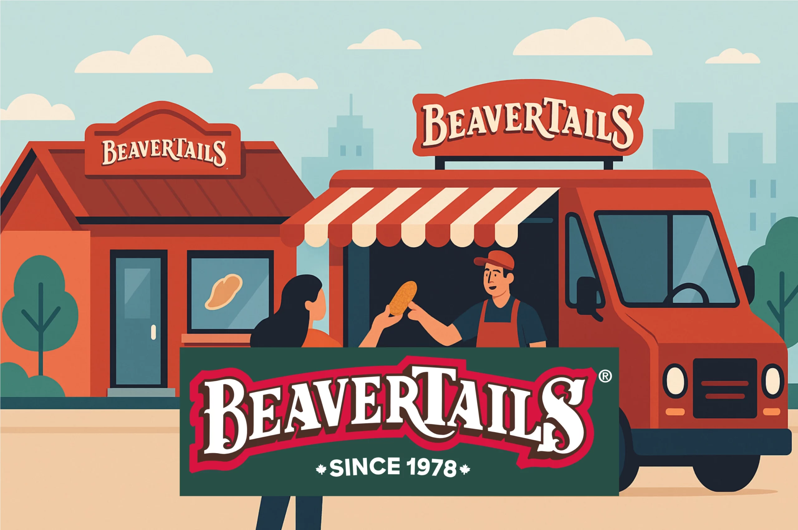
About BeaverTails
BeaverTails is a beloved Canadian brand, famous for its hot, handcrafted pastries served in shops and from eye-catching food trucks. Behind the sweet treats is a lean, 22-person team supporting over 180 locations and 90 franchisees nationwide — each with unique territories, delivery zones, and operational constraints.
Managing that complexity is no small feat. That’s why BeaverTails turned to Mapsly.
From JPEG Maps to Smart Territories
Before Mapsly, franchise territories were stored as hand-drawn images — literally JPEG screenshots, sometimes cross-referenced with Google Maps on a third screen. There was no unified view, no way to edit boundaries easily, and no clean process for resolving overlaps or enforcing exclusivity.
“We were like one step below old-school,” laughs Regan Schasny-Scott, who manages franchise territory operations. “Screenshots. JPEGs. It was messy.”
Territories weren’t standardized. A franchisee with a storefront might have exclusive rights to a few city blocks, while a food truck operator could control an entire province depending on population density. Every territory was different — and needed to be mapped, stored, and maintained reliably.
With Mapsly integrated into Zoho CRM, Regan and her team now draw territories directly onto an interactive map, using rivers, highways, and other natural boundaries for clarity. Each finalized territory gets saved to the CRM and exported for legal use in franchise agreements.
To protect this data, only three people in the company have Mapsly access — a smart move after early experiments with broader permissions led to accidental deletions.
Booking Food Trucks, Without the Guesswork
One of the biggest wins with Mapsly? Food truck requests now get routed to the right operator automatically — no more guesswork, drop-down menus, or internal misfires.
Previously, clients had to guess which operator to contact based on city names, often leading to confusion. Someone in Laval might not have known to click “Montreal”. Now, customers simply enter their postal code. Mapsly identifies the correct territory in seconds and passes the request to the right franchisee.
“They don’t have to figure it out. They just tell us where they are — and we take care of the rest,” says Regan.
Edge cases are handled too: if no operator is found within three hours, Zoho triggers a workflow that alerts a staff member to follow up. Nothing slips through the cracks.
And with Mapsly tracking every request, Regan gained visibility into booking patterns:
- <1% of requests now go to the wrong franchisee (down from “significantly more” before)
- 4% of bookings are now clearly flagged as outside any territory (a stat they couldn’t even measure before)
- 7% of form submissions were duplicates — prompting a simple confirmation message update that eliminated most of them
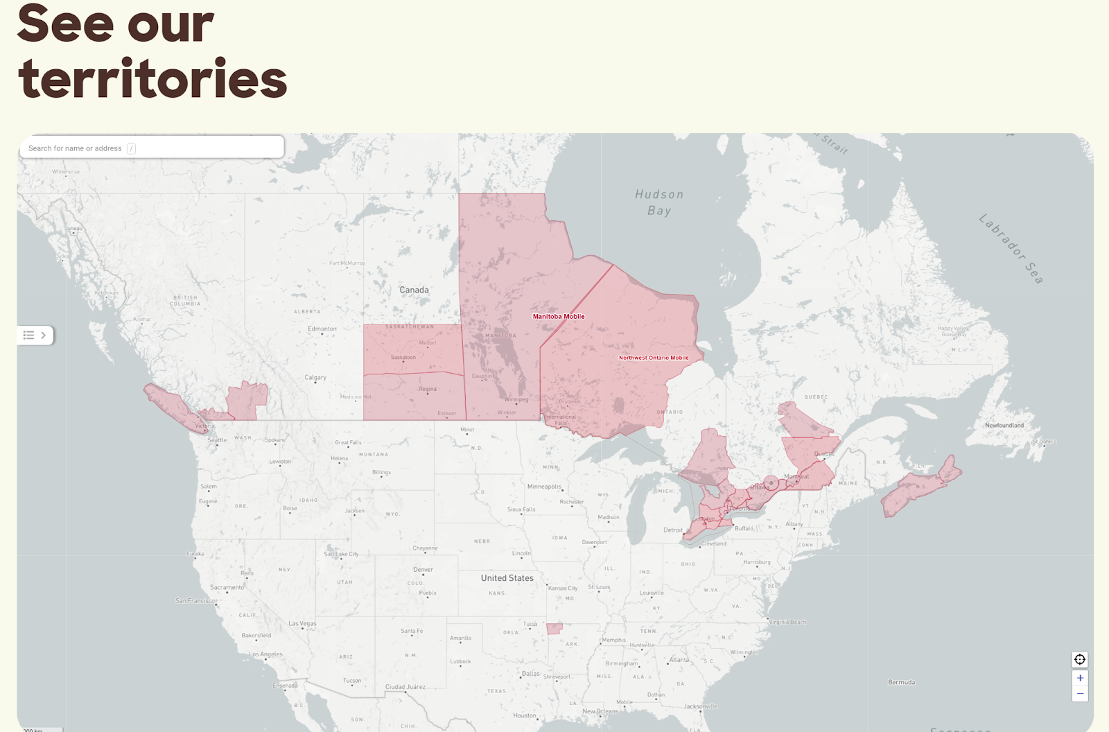
A Map That Trains the Team
BeaverTails also uses Mapsly to orient and educate its internal staff. New hires get a customized public-facing map pinned to their browser and CRM dashboard — showing every franchise territory across Canada.
source: https://beavertails.com/food-truck
“My knowledge of Canadian geography now comes from where there’s a BeaverTails,” Regan jokes.
Even though the operations team hasn’t adopted routing features yet — they know their rounds by heart — Regan sees future potential for Mapsly’s route optimization tools.
Why Mapsly Works for BeaverTails
Mapsly gives BeaverTails what most CRMs can’t: geospatial intelligence, seamless territory design, and reliable automation.
- The sales team can draft and prototype territories for potential franchisees
- The legal team can export map visuals directly for franchise agreements
- Regan’s team uses color coding and visibility filters to track the status of every territory — from active to archived to in-progress
It’s efficient, scalable, and surprisingly easy to use.
“We’re always trying to do more with a small team — and Mapsly helps us do that. It’s just made everything easier,” says Regan.
Managing a complex franchise network doesn’t have to be chaotic. Whether you need smarter booking, automated workflows, or visual territory planning, Mapsly brings it all together on one map.Try Mapsly free for 14 days and see how it can simplify your operations — and keep your team running at full speed.