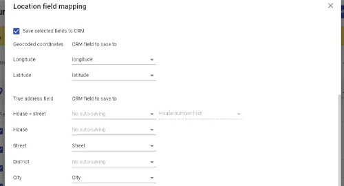
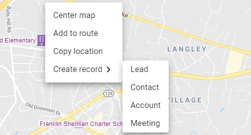
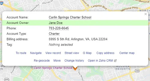
Customizable map & markers
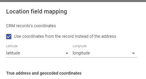
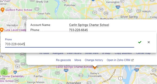
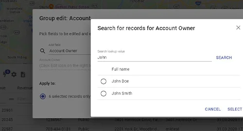
Update records (real-time sync)
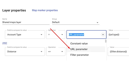
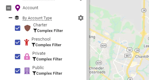
Map layers & filters
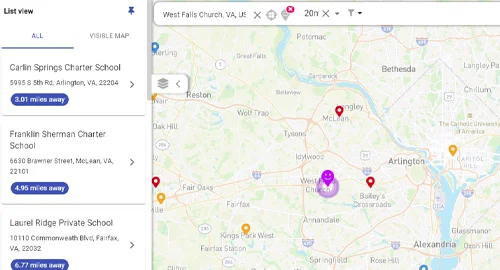
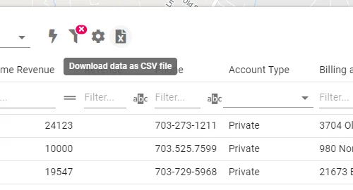
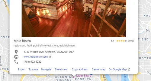
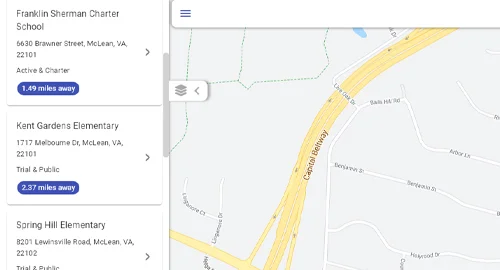
Table view & nearby search
List view & search bar filter
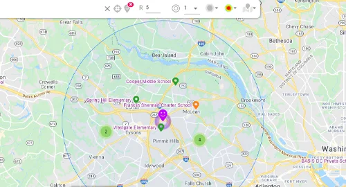
Isochrones & isocircles
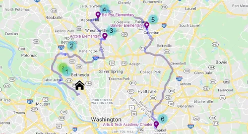
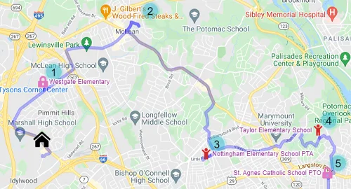
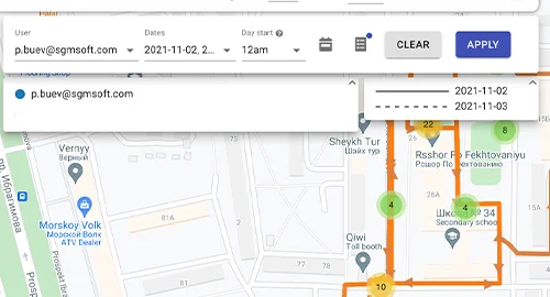
Optimized routing
Routing in Mobile app
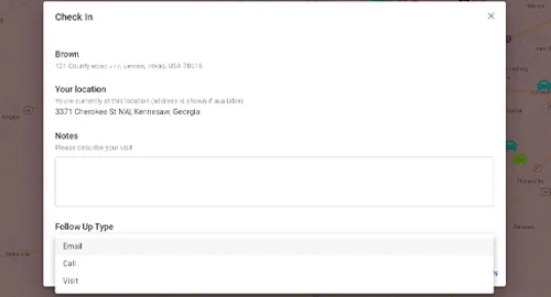
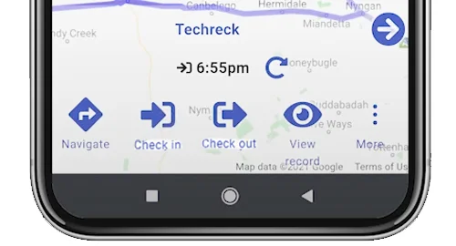
Configurable check-in
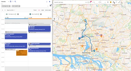
Travel-aware calendar
Location tracking
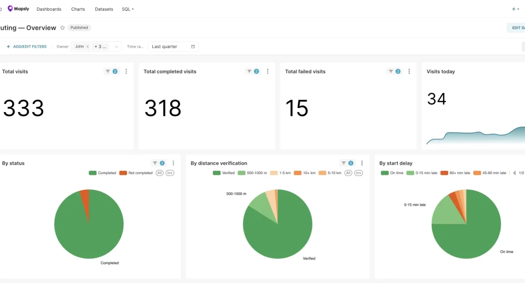
Field performance analytics
Mapsly Analytics
Share & embed live maps
Mapsly AI
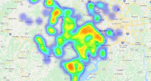
Find prospects by keywords
Control who sees what
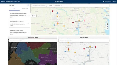
Live map for Smartsheet
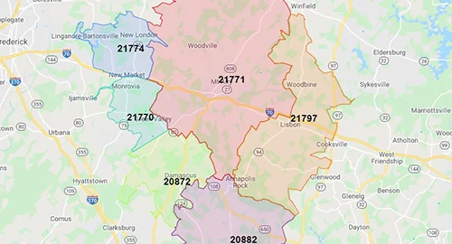
Territories overview
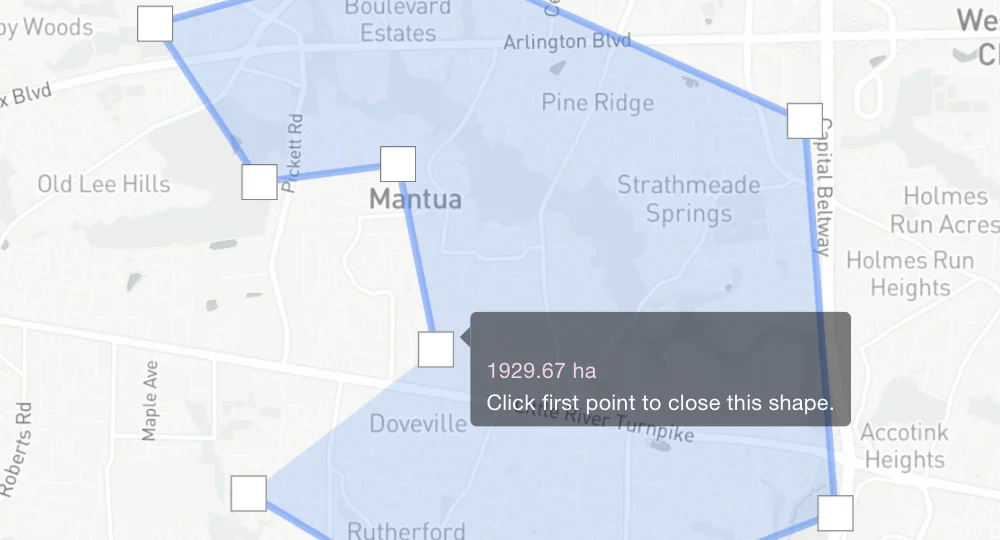
Draw & assign territories
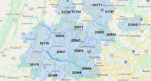
Geo-Library (zip, counties, etc)
Aggregate (roll-up) metrics
50,000+ US Census metrics
Import KML, GeoJSON, Shapefile
Automation suite overview
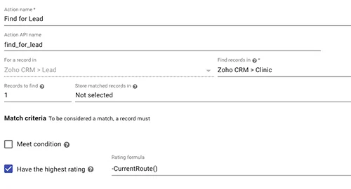
Find best-matching records
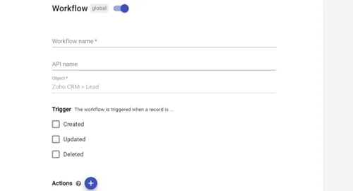
Buttons, workflows, actions
Capture user’s location
Driving distance & time
Dynamic forms
2-way native API connectors
40+ CRM connectors via Zapier
Mapsly API
Automatic CSV-file import
Spreadsheet uploads
Hubspot
Zoho CRM
Pipedrive
Zendesk Sell
SalesForce
Creatio
Keap (Infusionsoft)
Smartsheet
Google Sheets
Odoo
Microsoft Dynamics
Freshworks
Quickbase
All CRM connectors
monday CRM
Airtable
CSV
Excel
Lorem ipsum dolor sit amet, consectetur adipiscing elit. Ut elit tellus, luctus nec ullamcorper mattis, pulvinar dapibus leo.
Search features by category and keywords. Click on a feature to learn more.
Loading...
No credit card required