Custom map tiles and territory assignment

Many datasets live outside your CRM—parcel boundaries, zoning, flood zones, utility corridors. With Mapsly, you can connect a Mapbox custom tileset and render custom map tiles alongside your CRM data so reps, ops, and planners see parcel context and customer context on the same map. The result is a single operational view where location layers, territories, and live CRM records come together for faster decisions and cleaner handoffs between teams.
Technician search and job assignment on the map

When speed matters, seeing technicians and service requests on the same map is everything. Mapsly can show leads and technicians side-by-side, then use a custom form to match work—like lawn mowing—to the closest 5 available technicians in seconds. Dispatchers get proximity and ETA in one operational view, with territory ownership, skills, and working hours considered in the background so assignments land with the right tech the first time.
Sales territory balancing on a map
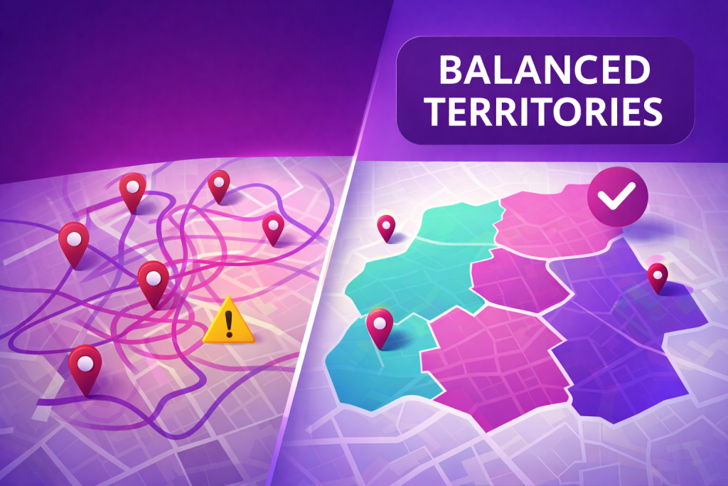
Sales teams perform best when territories are fair, focused, and easy to manage. Mapsly helps revenue leaders balance sales territories by visualizing workload, analyzing roll-up metrics, and reassigning territory boundaries with confidence—all directly on the map. Instead of spreadsheets and guesswork, you get one operational view of sales territory maps, live account and pipeline totals, and clear signals on where capacity is stretched or coverage is thin, so territory changes are grounded in data and visible to everyone.
Radius-based search with custom form
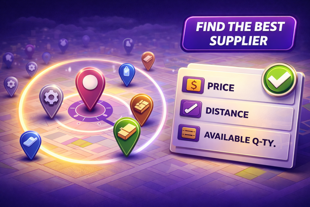
Sales and operations teams often need fast, location-based answers—without digging through lists. Mapsly makes it easy to search by distance and instantly turn results into actionable insights. From a single operational view, you can anchor on a place that matters—an office, a warehouse, a customer site, or a rep’s current location—then narrow to what’s nearby and relevant, keeping decisions grounded in the map instead of spreadsheets.
Real estate portal with an embedded interactive property map
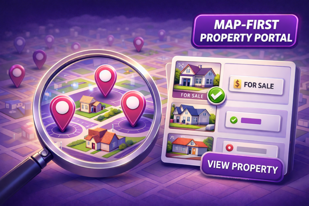
Modern real estate portals need more than lists—they need visual context. Mapsly lets teams embed interactive property maps directly into customer-facing real estate portals, making listing data easy to explore and act on. Visitors get a clear neighborhood view with filters, colorized listing statuses, and quick comparisons, while your team keeps one source of truth that reflects live CRM fields like price, availability, and stage—no duplicate tools or re-entry.
Distance-based CRM workflows and automation
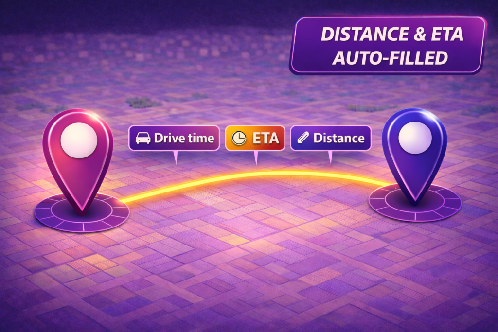
Mapsly’s automation suite turns geo-logic into hands-free CRM automation. Distance-based workflows—designed by our solution engineers—run behind the scenes to calculate distance and drive-time values, update CRM fields, match records by proximity, and write results back into your CRM. The net effect is smarter assignments, cleaner data, and faster decisions, with every update tied to a clear, auditable workflow rule instead of ad-hoc lookups or manual edits.