




Airtable 可以和不可以对地图执行哪些操作
Airtable 的原生, 地图扩展 将记录绘制为图钉。将其指向包含地址或坐标的字段, 添加您自己的 Google Maps API 密钥, 它会进行地理编码并将您的位置显示为可点击的图钉, 并提供一些标记样式选项.
但它也就只能做到这些。原生地图视图仅用于显示: 它无法优化路线, 规划多日或多用户行程, 管理区域, 也无法驱动移动外勤应用。它也不会将任何内容写回到您的 base。对于真正需要开车前往这些地点的团队来说, 在地图上放置图钉只是容易的部分。真正困难的是之后发生的一切。
这就是原生扩展止步,而 Mapsly 这样的工具接手的地方:
| 功能 | Airtable 原生地图扩展 | Airtable + Mapsly |
|---|---|---|
| 在地图上显示记录 | 是 | 是 |
| 对地址进行地理编码 | 手动,需要您自己的 Google Maps API 密钥 | 自动: 清理地址, 填写缺失的邮政编码/县 |
| 优化的多站点路线规划 | 否 | 是 |
| 多日 & 多用户规划 | 否 | 是 |
| 汽车, 卡车, 自行车 & 步行模式 | 否 | 是, 包含卡车限制 |
| 区域管理 & 自动分配 | 否 | 是 |
| 无代码自动化 | 否 | 是 |
| 带 check-in 的移动应用 | 否 | 是 |
| 与您的数据表实时同步 | 仅查看 | 是, 实时 |
在实时地图视图中查看您的 Airtable 记录,
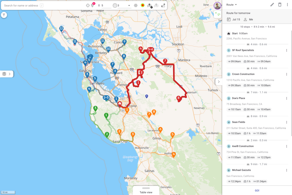
Mapsly 为您提供 Airtable 数据库的交互式地图视图, 您无需拥有自己的 API 密钥. 每条带有地址或坐标的记录都会变成一个图钉.
筛选并用颜色标记. 按任意 Airtable 字段设置图钉样式: 状态、负责人、优先级、交易规模、服务类型.
就地编辑. 直接在地图弹出窗口中更新记录,或在表格视图中批量更新。
绘制区域。 绘制或导入区域,并查看哪些记录位于每个区域内。
添加上下文. 叠加人口统计和位置数据,包括美国人口普查。
分享和嵌入. 向队友和合作伙伴展示实时地图。
根据您的 Airtable 数据规划优化路线
这是 Airtable 完全无法做到的部分。选择您想要拜访的记录(使用地图套索、筛选器,或单击某条记录),Mapsly 会利用实时和历史交通状况,将它们排序成最高效的路线。
全团队规划。 面向整个外勤团队的多日、多用户路线。
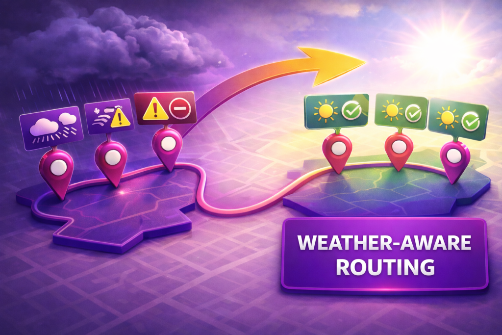
现实世界的约束。 时间窗口, 营业时间, 作业时长, 所需技能, 车辆限制.
每种出行模式。 汽车、卡车、自行车和步行,并提供卡车限制,避免司机驶入不适合的道路。
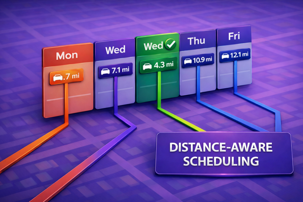
长途且考虑日历. 包含夜间休息的路线, 以及适合您 CRM、Google Calendar 或 Outlook 中现有会议安排的新拜访.
从您的 Airtable 数据库管理区域
在地图上绘制区域或导入区域, 然后让 Mapsly 自动将 Airtable 记录和代表分配到正确区域。随着您的 base 发生变化, 分配会同步更新, 因此覆盖范围无需手动排序也能保持均衡。
自动化外勤工作, 无需代码
Mapsly 包含一套可响应现场情况的无代码自动化工具. 在签到, 提交表单, 或 Airtable 字段发生变化时触发工作流, 然后更新记录, 通知经理, 或自动启动下一步. 无需开发人员.
将其带到现场
Mapsly 的移动应用将计划转化为行动。代表可沿优化路线导航,在停靠点签到和签出,并通过可配置表单准确采集您所需的数据。他们记录的内容会实时回传到您的基地,经理可以查看实时位置以及计划-vs-实际绩效。
Airtable 和 Mapsly 如何保持同步
Mapsly 会复制您的 Airtable 表和字段,并从 Airtable 实时拉取新增或更新的记录。在外勤现场所做的更改会写回您的 base,因此地图和路线始终反映表中的实际内容。Airtable 仍然是您的事实来源;Mapsly 是围绕它的地理和外勤执行层。
如何映射您的 Airtable 数据
1. 连接. 将您的 Airtable base 链接到 Mapsly。Mapsly 会在几分钟内复制您的表和字段。
2. 地图. Mapsly 会自动清理您的地址并进行地理编码, 然后在地图上绘制您的记录.
3. 路线. 选择记录并构建您的第一条优化路线。
4. 扩展. 绘制区域, 设置签到表单, 并随时添加自动化.
常见问题
Airtable 有地图视图吗?
是的. Airtable 有一个原生 Map 扩展,可使用您自己的 Google Maps API 密钥将记录绘制为图钉. 但它仅供查看: 它不会优化路线、管理区域或同步更改. 为此,您需要像 Mapsly 这样的地图图层.
您可以在 Google Maps 上显示 Airtable 数据吗?
您可以手动将地址复制到 Google Maps,但它最多只能处理约 10 个停靠点,无法优化完整的外勤工作日,也不会与您的 base 保持同步。Mapsly 会直接映射您的 Airtable 记录,并实时保持更新。
您可以从 Airtable 规划路线吗?
是的。借助 Mapsly,您可以直接根据 Airtable 记录构建优化的多站点、多日路线,并将实时交通、时间窗口以及技能或车辆限制纳入考虑。
Airtable 是否内置路线优化功能?
不. Airtable 的原生地图只显示图钉. 路线优化需要像 Mapsly 这样的外部图层,它无需代码即可添加该功能.
如何自动将 Airtable 数据显示在地图上?
将您的 Airtable 数据库连接到 Mapsly,它会复制您的表和字段,然后清理并地理编码您的地址,并将您的记录绘制在交互式地图上,通常只需几分钟。
Mapsly 的 Airtable 集成是无代码的吗?
是的。连接 Airtable、映射记录、规划路线以及设置自动化,全都无需编写任何代码。
想在您自己的 Airtable 数据上查看它吗? 安排快速会议 与我们的解决方案工程师.