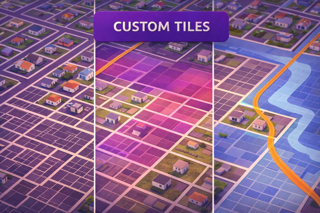
Nhiều bộ dữ liệu nằm ngoài CRM của bạn — ranh giới lô, quy hoạch, vùng lũ lụt, hành lang tiện ích. Với Mapsly, bạn có thể kết nối một custom tileset Mapbox và hiển thị các ô bản đồ tùy chỉnh cùng với dữ liệu CRM của bạn để đại diện bán hàng, vận hành và lập kế hoạch có thể xem ngữ cảnh lô và ngữ cảnh khách hàng trên cùng một bản đồ. Kết quả là một chế độ xem vận hành duy nhất, nơi các lớp vị trí, khu vực và hồ sơ CRM trực tiếp được kết hợp để đưa ra quyết định nhanh hơn và chuyển giao giữa các nhóm suôn sẻ hơn.
Các nhóm sử dụng điều này như thế nào
Ranh giới thửa đất trong bối cảnh: Hiển thị đường viền thửa đất (hoặc các ô tùy chỉnh khác) bên cạnh Tài khoản và Khách hàng tiềm năng của bạn.
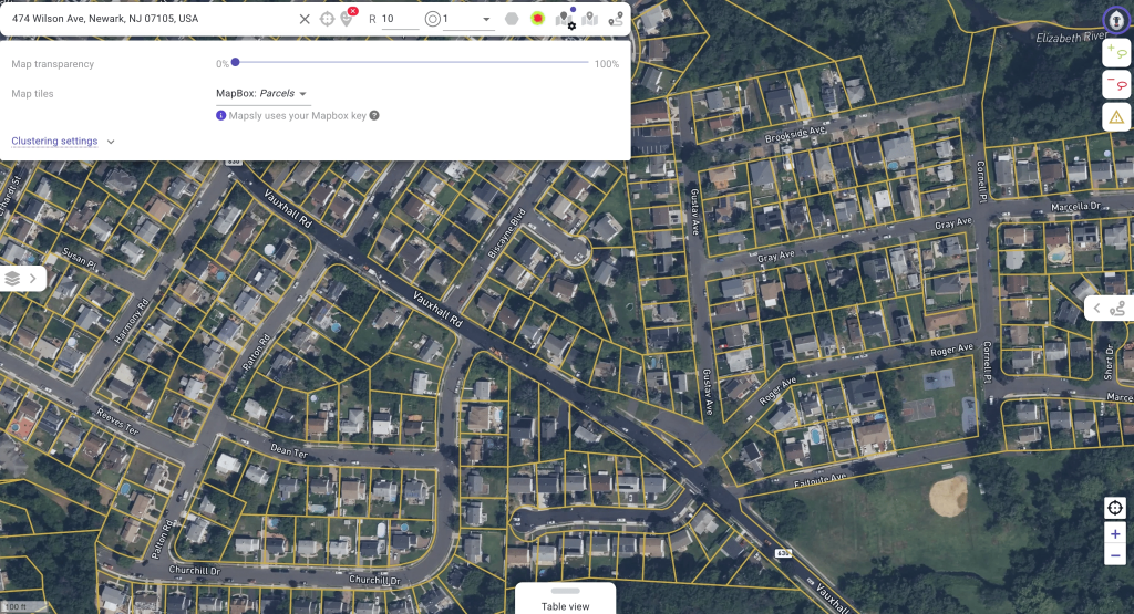
Việc nhìn thấy ranh giới thửa đất trên cùng bản đồ với khách hàng giúp làm rõ các mô hình truy cập, mặt tiền và sở hữu chỉ trong nháy mắt. Các nhóm có thể tô màu theo trạng thái hoặc cờ, phóng to từ cấp khu phố đến cấp thửa đất và phát hiện các tài sản phù hợp với chiến dịch hoặc chương trình dịch vụ hiện tại.
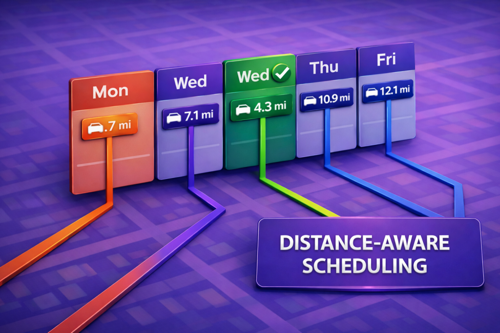
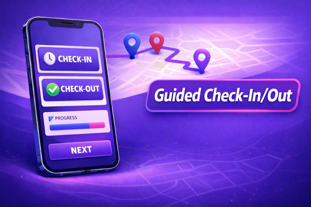
Lọc không gian các bản ghi CRM: Nhanh chóng tìm các bản ghi CRM nằm trong các khu vực đã chọn, sau đó xây dựng danh sách hoặc tuyến đường nhắm mục tiêu theo địa lý từ lựa chọn đó.
Vẽ hoặc nhấp vào một vùng và ngay lập tức cô lập các bản ghi quan trọng. Từ đó, tạo danh sách nhận biết lãnh thổ, lập kế hoạch lộ trình phù hợp với khung giờ khả dụng và giờ làm việc, hoặc đưa lựa chọn này vào chiến dịch tiếp cận—không cần xuất dữ liệu hay trùng lặp bộ dữ liệu.
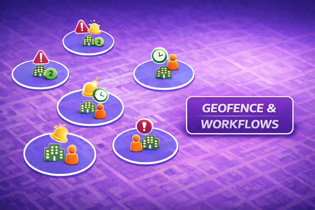
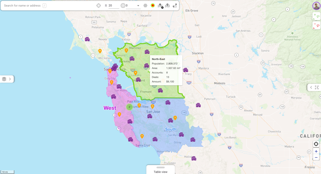
Kiểm tra phạm vi và khu vực: Đếm khách hàng và khách hàng tiềm năng theo vùng thửa đất để phát hiện khoảng trống hoặc chồng lấn, sau đó điều chỉnh khu vực bán hàng mà không rời khỏi bản đồ.
Các chỉ số tổng hợp làm nổi bật các khu vực phục vụ kém và các vùng phủ trùng trong vài giây. Quản lý cân bằng lại các khu vực một cách trực quan và thấy ngay tác động, giữ cho quyền sở hữu rõ ràng và khối lượng công việc đều nhau giữa các vùng liền kề.
Tại sao điều đó quan trọng (bằng con số)
⏱️ Tiết kiệm 50–60% thời gian để xây dựng danh sách khách hàng tiềm năng được phân loại theo địa lý
📍 Phát hiện khoảng trống khu vực nhanh hơn gấp 3 lần
📈 Hiệu quả tiếp cận cao hơn 20–40% khi nhắm mục tiêu khách hàng tiềm năng trong khu vực phù hợp
Kết hợp các ô tùy chỉnh Mapbox với phân vùng khu vực và dữ liệu CRM trực tiếp biến bản đồ thành bề mặt lập kế hoạch thực thụ—ngữ cảnh rõ ràng, lựa chọn chính xác và cập nhật khu vực đáng tin cậy.
Bạn muốn xem trực tiếp không? Lịch trình một phiên nhanh với kỹ sư giải pháp của chúng tôi.