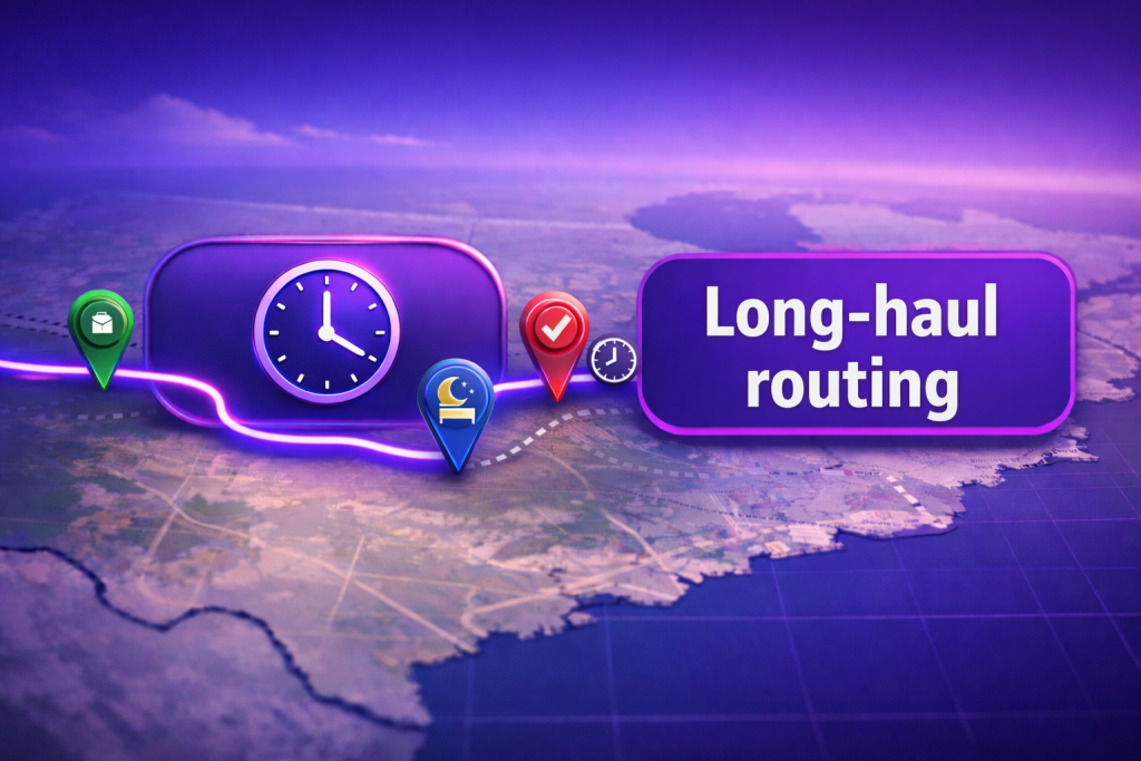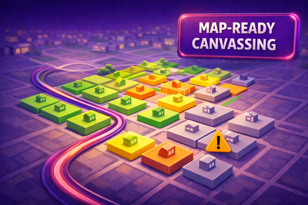
Turn door-to-door canvassing into clear, map-ready insights. Mapsly helps canvassing teams see where they’ve been, what people said, and what to do next—without leaving the map or the mobile app. Organizers get a single operational view with color-coded canvassing outcomes, customizable filters, and live progress, while field canvassers follow simple routes, capture notes and photos at the door, and keep the CRM updated without extra steps.
In the field
See outcomes on the map: Visualize households or blocks with color-coded canvassing results and sentiment (support/lean/undecided); filter by precinct, shift, or script version to spot gaps and trends in real time.
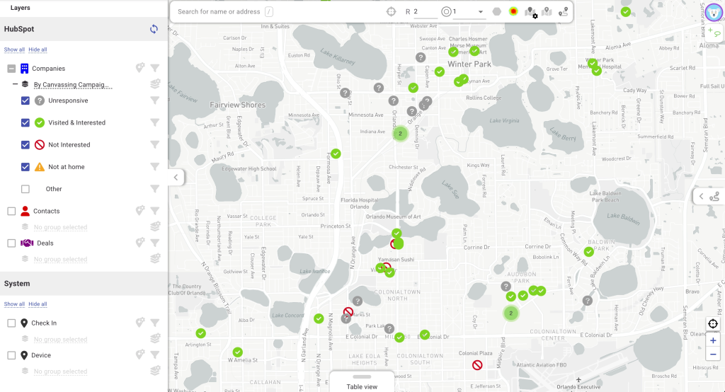
A live canvassing map highlights support levels and undecided contacts as visits are completed, so coordinators can redirect shifts mid-day, compare scripts by area, and protect coverage across assigned territories without guesswork.
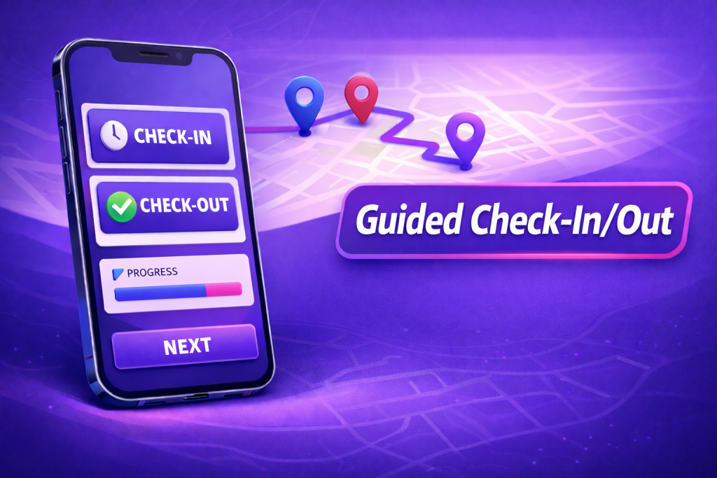
Mobile-first capture: Follow assigned door-to-door routes in the canvassing app, check in at each stop, record responses and notes (support/lean/undecided), add photos or issues, and sync everything back to CRM instantly.
Canvassers log outcomes and notes in seconds—door codes, concerns, follow-up needs—while GPS- and timestamped check-ins and photos provide trustworthy context. Data lands on the same CRM records leaders use for nightly rollups and next-day targeting.
Impact at a glance
⏱️ Quicker coverage verification with live, street-level canvassing results
🎯 Smarter targeting as sentiment maps highlight priority areas and message alignment
With route planning, data capture, and analysis in one place, teams convert door knocks into organized canvassing insights, tighten daily coverage, and focus follow-ups where they move the needle most.
Want to see it live? Schedule a quick session with our solution engineer.